Pacific Crest TrailMexico to Canada
Continental Divide TrailMexico to Canada
Appalachian TrailGeorgia to Maine
01 · Track your progress
Start, hike, stop. Your miles fill in.
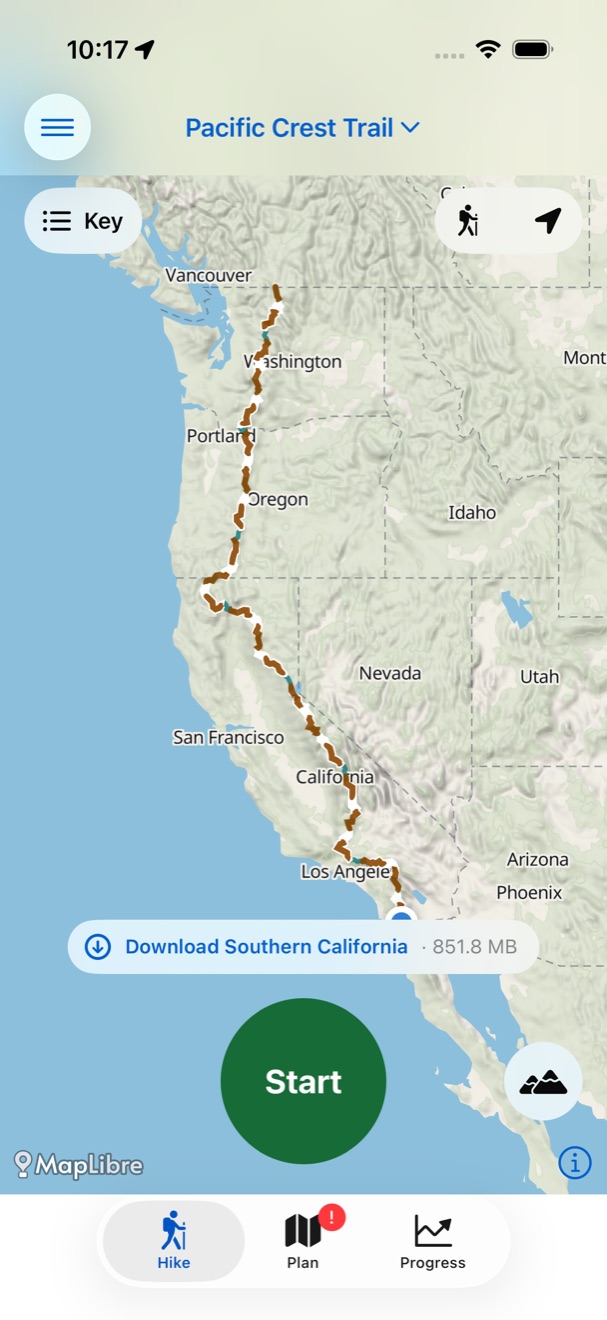
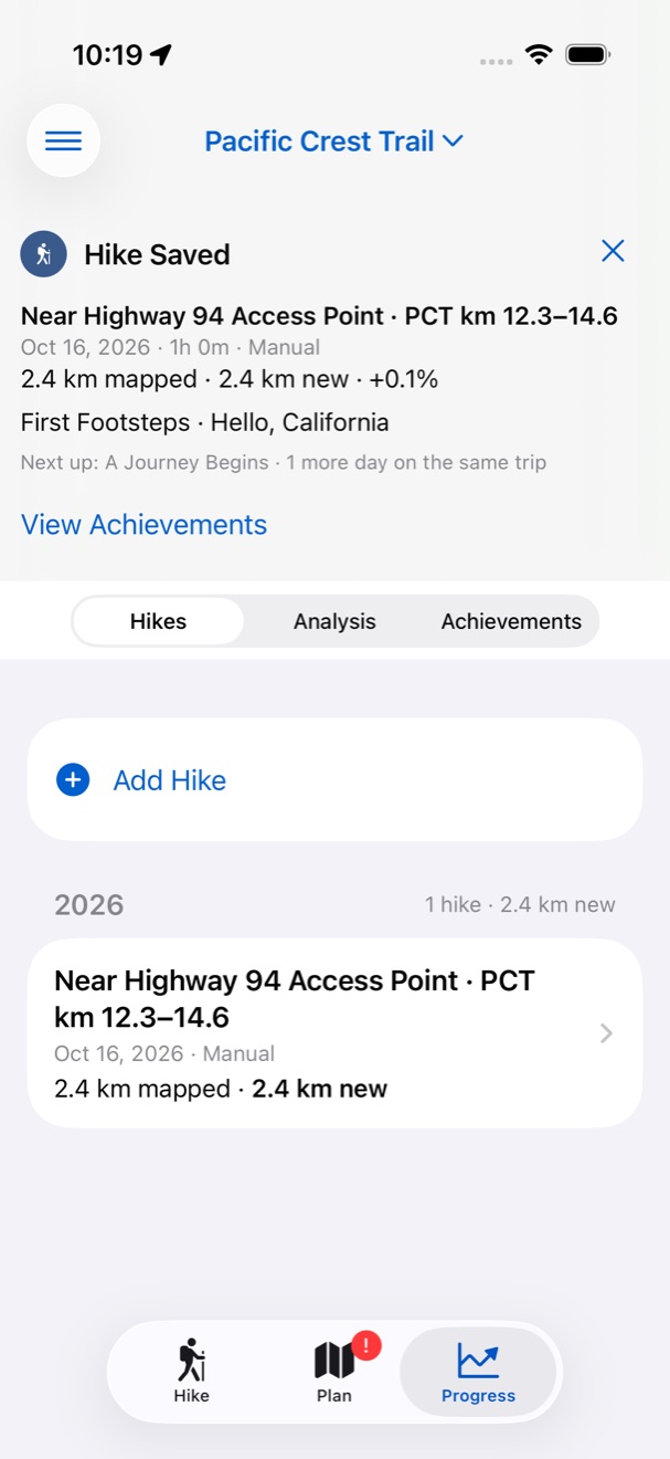
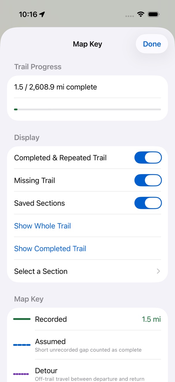
Tap Start at the trailhead and Stop when you’re done. The miles you’ve walked fill in on the trail map, so you always know how far you’ve come and what’s left.
- Already hiked a section? Add it by picking where you started and finished.
- Each trail keeps its own progress, from your first mile to the last.
- Recording keeps going in your pocket with the screen locked. Battery Saver stretches long days.
02 · Detailed offline maps
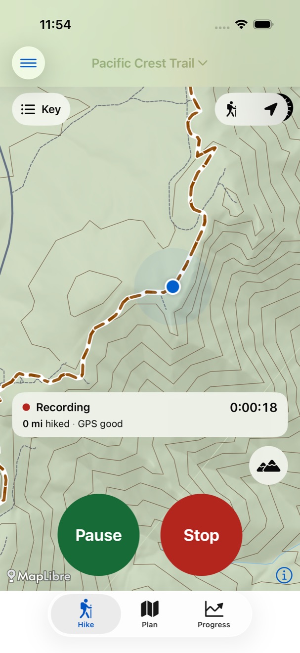
Every switchback, even with no signal.
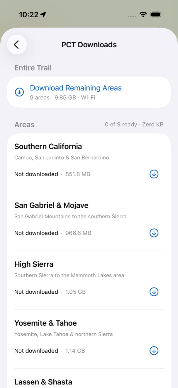
Download topographic and satellite maps for the areas you’re hiking. Contour lines, side trails, water and your place on the trail stay sharp when the bars disappear.
Optional Offline Maps purchases unlock these downloads and Journal writing for each trail: $14.99 USD for one trail or $19.99 USD for PCT, AT and CDT together, paid once. Online satellite viewing, Trail Reports and reading the Public Trail stay free.
- Download one area or the whole trail, with sizes shown before you start.
- Switch between topographic and satellite views with one tap.
- A worldwide overview map is built in, light and dark.
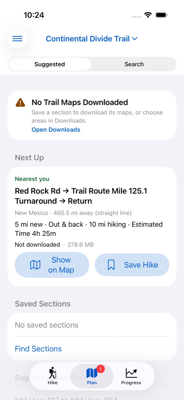
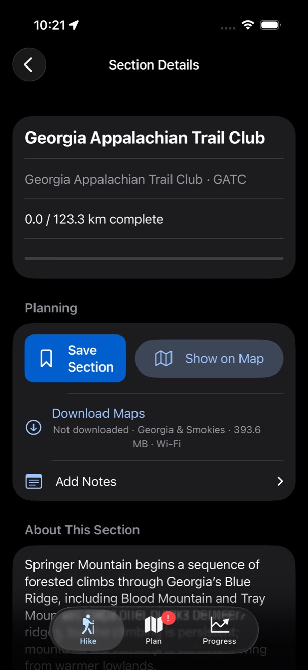
Plan your next section before you go.
Suggestions start where your progress ends: the nearest sections you haven’t hiked, with distance, elevation and estimated time. Read what each section is like, save the ones you want, and download their maps.
03 · Achievements
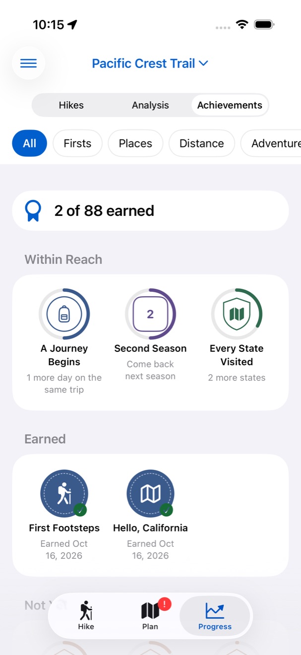
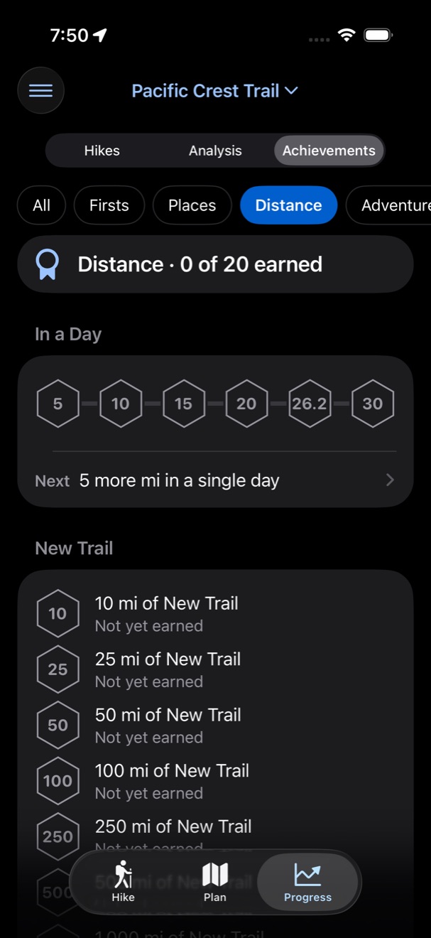
88 patches to earn. One more reason to go.
Your first hike, a new state, a bigger day, a landmark on the trail: every one earns a patch. The next ones within reach show exactly what it takes.
- Firsts
- Places
- Distance
- Adventures
- Landmarks
Your hikes, your choice.
On your iPhone
Hike data lives on your device, with daily backups to your private iCloud.
On all your devices
Turn on iCloud Sync to keep each trail’s progress current everywhere.
Sharing is optional
No accounts, advertising, third-party analytics, or tracking. Choose private trail statistics during setup; profiles and leaderboards are off by default.
If you opt in to public profiles, find other hikers and compare unique trail miles across all three trails. Approximate section progress is shared only after at least seven full days.
Take every mile with you.
Trail by Mile for iPhone is coming to the App Store. Recording, planning, progress, backups and trail ratings are free, with optional Offline Maps purchases for PCT, AT and CDT that also include Journal writing.
 Coming to the App Store
For iPhone
Hike prepared. Trail by Mile is a progress and map tool, not a navigation or emergency tool, and it doesn’t report live trail conditions. Check closures, permits, weather, water, fire and road access with authoritative sources, and carry appropriate maps and safety equipment. Support & Safety